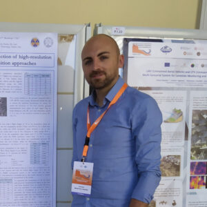
Antonio Minervino Amodio
Researcher
Potenza
My research activity focuses on the study of erosional processes in shape fragile landscapes, with particular attention to soil erosion, coastal erosion, and gravitational phenomena. I conduct post-event surveys to analyze landslides and linear erosional forms, and I use multi-temporal analysis tools, such as historical aerial photos, satellite images, and UAV acquisitions.
Staff RES-DATA Lab

